Drone mapping / Crop health
Fınd the pıxel that matters
Drone mapping, crop health and aerial imagery for farms that run real operations.
What we do
Fly the field. Map it. Flag what matters.
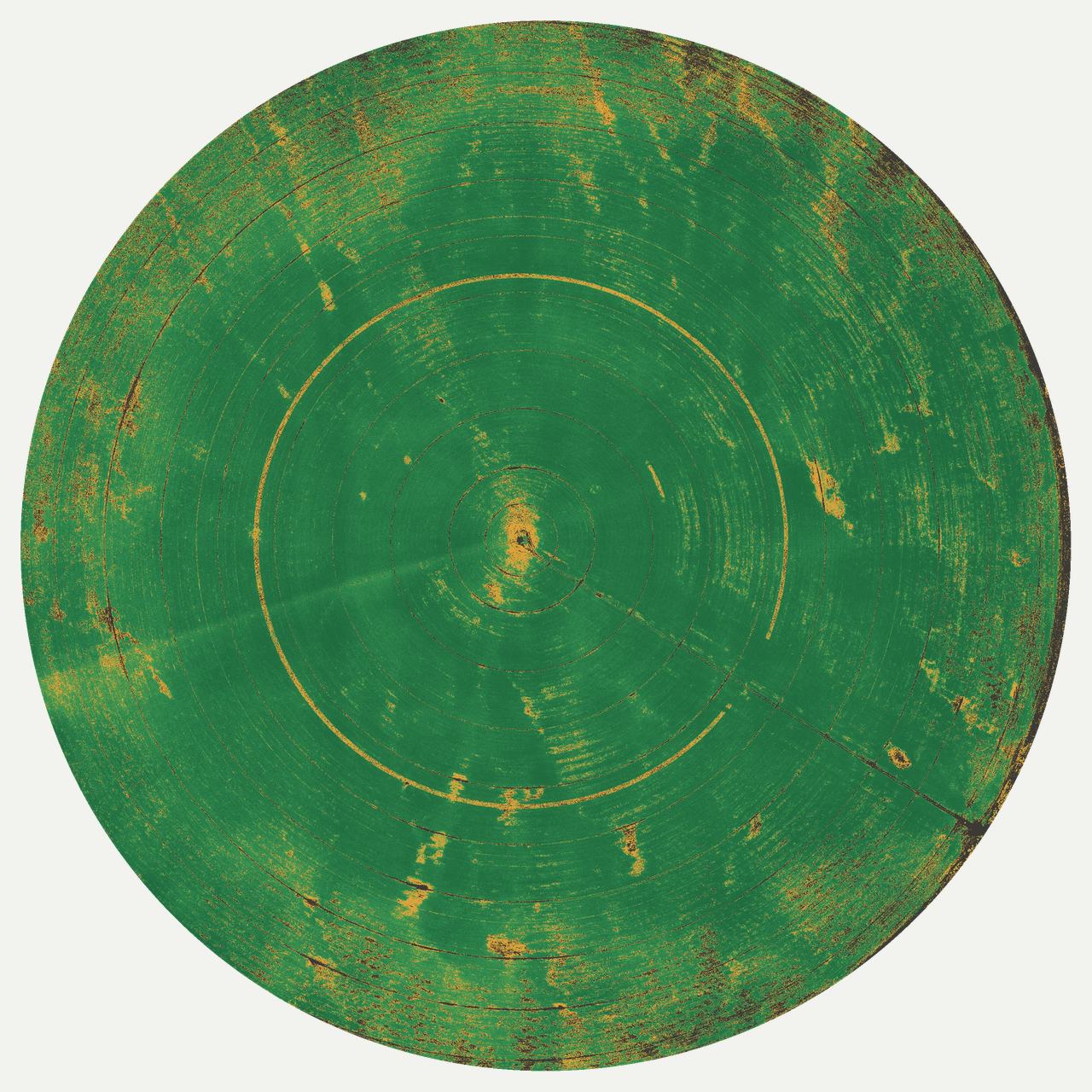
Crop health mapping
Multispectral NDVI and NDRE maps that flag stressed, thin or under-watered ground before it shows from the road.
See crop health mappingOrthomosaics and field maps
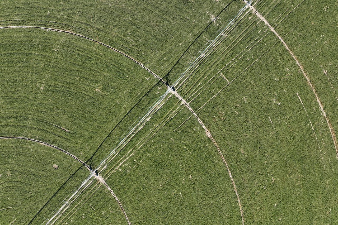
Overhead photos stitched into one accurate map of every field, at about 1.3 inches per pixel.
See field mapsAerial photo and video
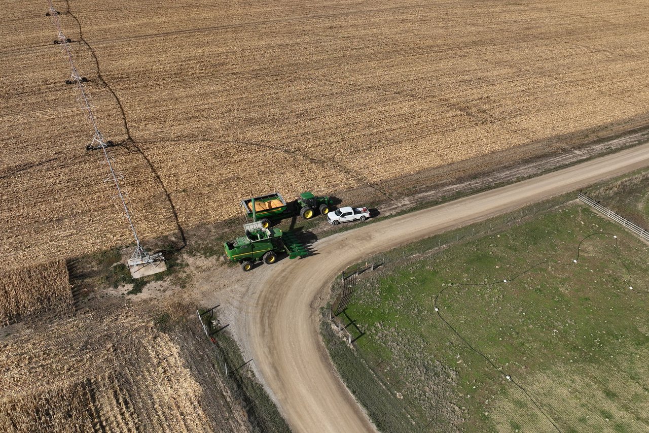
Harvest, equipment and whole-operation shots for your records, your crew and your website.
See photo and videoField dashboard
Every map from every flight in one place your managers will actually open.
See the dashboardSame field, two views
The photo shows a field. The map shows where to look.
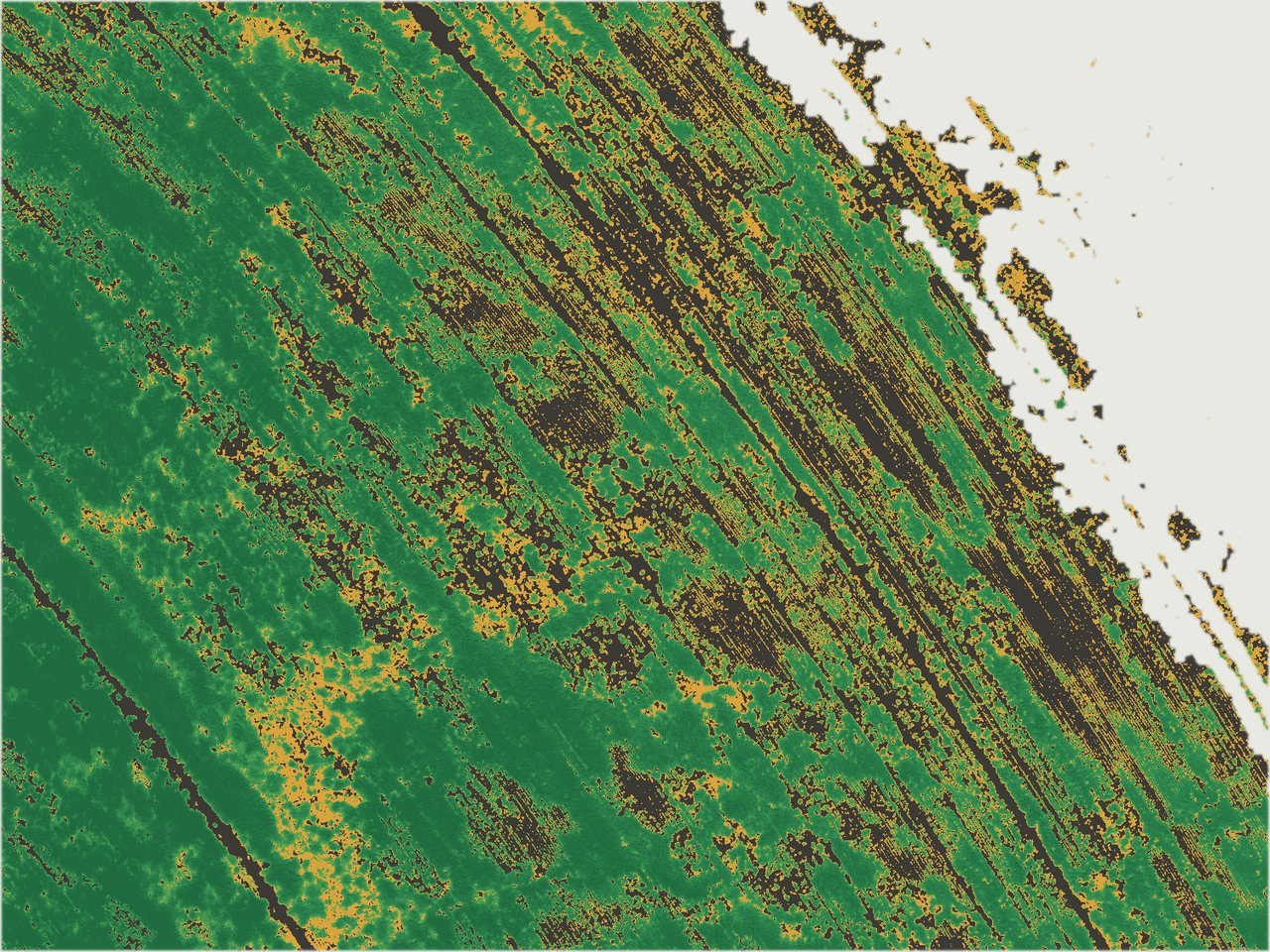
The same patch of alfalfa, from the same flight. In color it all looks green. In NDRE, the stressed crop shows up in amber, and every flagged spot has GPS coordinates so your crew can walk straight to it and check.
Selected work
From the field.
We flew the field and found one setting worth changing. Here's the map.
From the air
Recent flights.
How we work
One trip, everything you need.
- 01
Plan
We pick the fields, the bands and the timing with you, and handle airspace authorization where it's needed.
- 02
Fly
Mapping missions with a DJI Mavic 3M, flown by an FAA Part 107 certified pilot. Photo and video on the same trip.
- 03
Process
Orthomosaics and index maps built from every flight, then checked against what the crew sees on the ground.
- 04
Deliver
Maps, photos and a field dashboard, plus the files in standard formats. Everything from the flight is yours.
Start a project
Got a field worth a look?
Send a few lines about the crop, the fields and what you want to know. You'll get a reply from the pilot who flies it.